Two uneventful days later found us 200nm north, cruising into pond inlet with a fresh fallowing wind.

Sunrise on our way to Pond Inlet
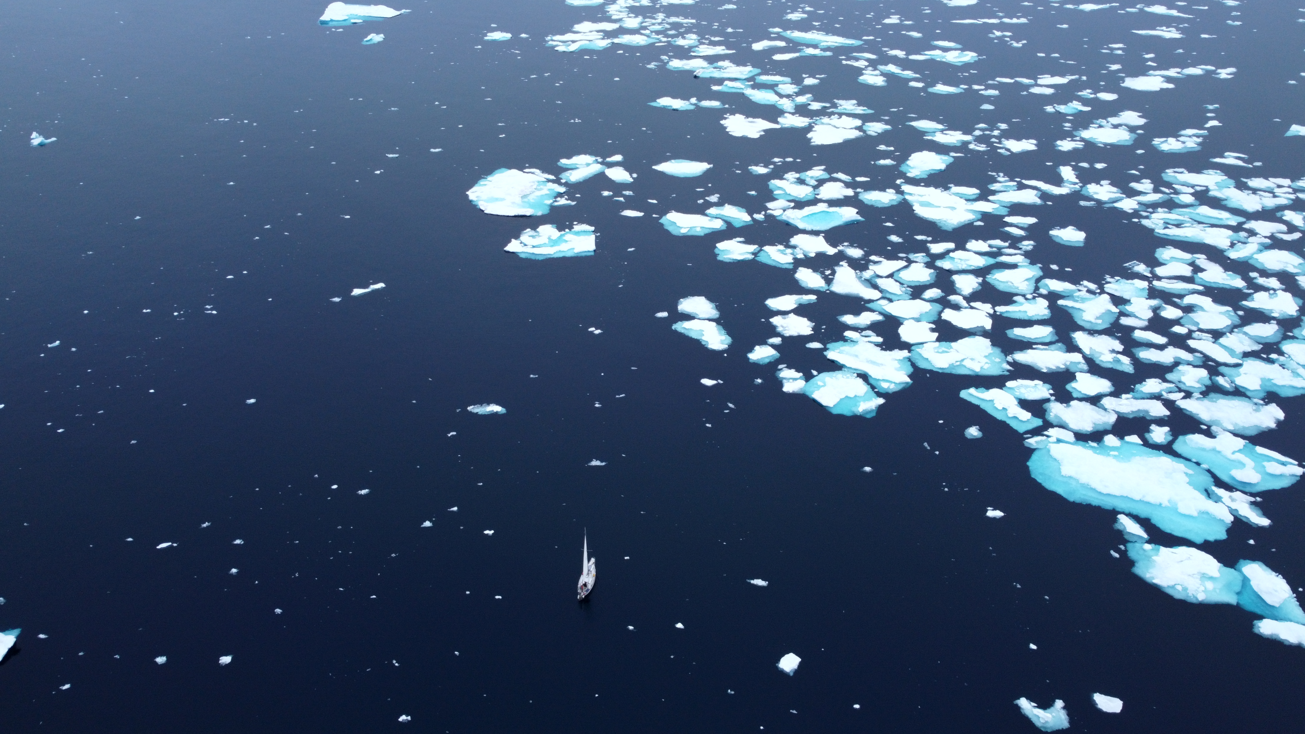
Small icebergs dotted the approach, and snow dusted the hills.

Iceberg on the way into Pond Inlet

Pond Inlet
We tied up at the wharf, which was a challenge in itself. The wharf was made of interlocking steel plates, the top of which was 8’ above our deck. Callum gave me a leg up, and I got our lines secured. We have 25 and 30’ dock lines and they were barely long enough. It’s not a place I’d feel comfortable being tied up to in any sort of weather. Directly in front of us was Harmattan, a 34 foot aluminum sailboat who had been attempting the passage but had blown their head gasket and were stuck for the next 3 weeks here waiting for a new one to be shipped from Europe.

Talking with the crew of the Harmattan
Customs was very simple. Callum called up CBSA, who transferred him to the Iqaluit office, and 45 minutes later two officers showed up to clear us in. The hardest part of the whole process was scaling the wharf to give them our passports.
We were an instant curiosity and soon our boat was swarming with the local kids.
To get fuel we organised for a tanker truck to come down to the dock at the local co-op, and they were able to pump the fuel directly into our tanks. This was the first time we’ve ever filled it up without using Jerry cans.

Our first ever effortless refuelling
We had a very nice lunch with the crew of Harmattan, who are all around our own age,
And then said our farewells to Pond Inlet.
The ice charts showed a large section of ice moving across the opening of Admiralty board inlet, so we were keen to get moving before it locked us in.
There was a good breeze and we were out of Navy Board Inlet the next morning and into Lancaster Sound.
Our plan had been to stop at Beechey island, the closest we got was a view of Devon Island 7 miles away. A large finger of 5-7/10ths ice was blocking our way farther west, and threatening to move across the opening of Prince Regent inlet, which would block our way south as well.
As I made the turn south, we suddenly lost all power. No chart plotter, no lights, nothing. It took me a good half hour to trace it back to a blown fuse in the battery bank and it wasn’t till a day later that I found the cause, a burnt out fuel transfer pump.
Soon we were into the ice. It was like navigating through a maze with no guarantee of a way out on the other side.

A maze of ice

It was fun finding leads through the ice though, and I spent a good portion of my off watch up on the bow helping maneuver us through the narrow leads with an ice pole.

Cianan clearing the small ice
Around 9pm Callum spotted a polar bear swimming after the boat. However, perhaps realising the futility of this mission, it soon gave up and paddled off among the ice flows.
On the 22nd of August we dropped anchor off of Fort Ross.

Fort Ross
Fort Ross, built in 1937, was the last trading post established by the Hudson’s Bay Company. It was later abandoned in 1948 due to heavy ice conditions and difficulty resupplying.

With the Hudsons Bay company closing this year after 355 years of operation, it seemed fitting to be stopping at the last trading post they ever built.

Fort Ross is now used as an emergency shelter and an unofficial museum

Above Fort Ross
After spending a couple of hours exploring fort Ross, we pulled up our anchor and headed into the infamous Bellot Strait. A super narrow passage between the Boothia Peninsula to the south and Summerset island to the north, which all the water from the Prince Regent inlet and Larsen sound moves through. It’s renowned for strong tidal currents and fast moving sea ice. Back in 2018 an aluminum sailboat was crushed by the ice here, leaving the crew stranded on an iceflow.
Fortunately our passage was much less eventful. We entered the strait too early and soon found ourselves in a boiling, heaving mass of water, heading east, not west as we had planne We just made it into the shallows on the north shore where we anchored for 2 hours and caught up on some much needed sleep. Then, with the tide behind us, we shot through Bellot straight and we’re out into open water again.
With the wind shifting and building from the south we made a run for the Fisher river on Prince of Wales Island. We got within sight of the bay before the wind drove us back to Willis harbour, far to the north.
Here we anchored for two days waiting out the bad weather. At one point another boat came and anchored next to us, though we never saw them through the fog. The shoreline here was rocky and baren of all life besides some mosses and lichens. On our second day we returned to the dinghy to find fresh polar bear tracks ambling past our dinghy. We never saw the creator of those tracks.

Polar bear tracks
On the evening of the second day the wind had died sufficiently for us to make our way to victory point on king William island, with a stop on the Clarence islands. These island, like much of the arctic, are not well charted and have no depth readings, or wildly inaccurate ones. And so, with our depth sounder reading 7 feet and the bottom climbing fast we decided to abandon the bay we had planned to anchor in and settled in the much less protected channel to the south.
Next morning found us rounding Cape Felix and turning South once again towards victory point. This is where John Franklin’s crew abandoned their boats in 1848 and disappeared into mystery. This was also where the only intelligible written record left by the expedition was discovered. In 1848, after abandoning the boats 15 miles to the north, they set up camp here, before attempting to make their way south towards the back-fish river. A journey of more than 200 miles, dragging boats and provisions across some of the least hospitable terrain on the planet. Not surprisingly many died along the way. Leaving a trail of dead in their wake, the few who did make it to the river ultimately perished in aptly named Starvation Cove.

Ashore we found an old cairn, built over the grave of John Irving who was an officer on the expedition. Though we had limited time to explore, we saw many other signs of human habitation, whether that was from the expedition or the local Inuit it’s hard to tell.

The cairn at Victory Point
On our second trip ashore a heavy fog rolled in and we became disoriented. Eventually we hit the beach and started making our way north towards Victory Point. We never made it that far. Two polar bears appeared out of the fog in front of us, around 300m away. We altered course inland, making our way towards Irving’s cairn.
We crested a small ridge and stopped dead in our tracks. 70m in front of us was another two polar bears. Thankfully we were down wind of them, and with no desire to recreate the painting “man proposes, god disposes” we backed slowly away until we lost sight of them in the fog.

Two of the four polar bears we came across
We also say muskox, arctic hare and arctic fox.
Next evening we found threading our way through gravel bars into a small unnamed bay on the south east side of Victoria Island. The water was calm, but it if the forecast was anything to go on it wouldn’t last long.